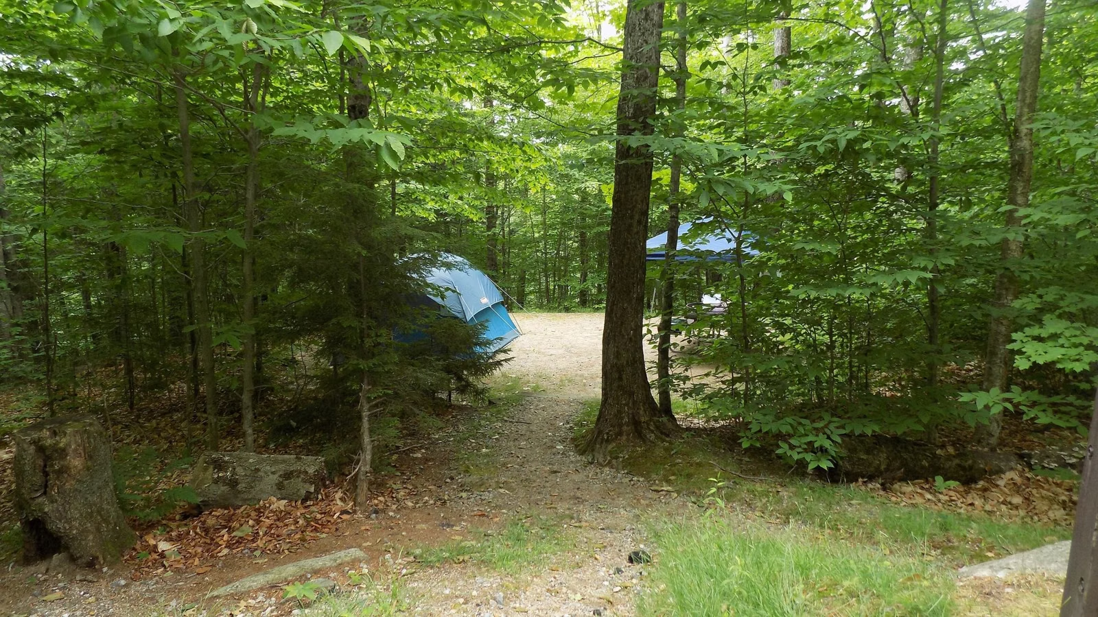
Nickerson Campsite Map
Nickerson's 418 campsites are split into eight camping areas: Areas 1 through 7 and Area 6X, plus four group sites. The official maps are DCR's Nickerson trail map (PDF), which shows every camping area, road, pond and bike path, and the interactive site map on ReserveAmerica, which shows each numbered site you can book. Site numbers repeat between areas, so always book by area and number.
Where to Find the Official Campsite Map
- ReserveAmerica's Nickerson page has a site map. Pick a camping area from the Loop menu and the map shows each site in it, with icons for tent, RV and accessible sites and whether pets are allowed.
- DCR's trail map is a one-page PDF of the whole park. Its legend marks the campgrounds, restrooms, showers, parking, the park headquarters and nature center, paved and unpaved roads, hiking trails, bicycle trails and bridle paths.
- Paper maps: the Brewster Ponds Coalition's guide says maps are available at the park's visitor center.
We don't redraw the map here. A copy can go out of date, and the two official maps are free.
Site Numbers by Camping Area
These are the site ranges ReserveAmerica uses in its Loop menu. Areas 4, 6 and 7 are split into two booking loops each, which is why some ranges overlap.
| Camping area | Site numbers (ReserveAmerica) |
|---|---|
| Area 1 | Sites 24–78 |
| Area 2 | Sites 105–125 |
| Area 3 | Sites 79–104, plus A and B |
| Area 4 | Sites 1–29 and 21A–21D; sites 30–78 and 38A–38B |
| Area 5 | Sites 1–23 |
| Area 6 | Sites 1–21 and 104–106; sites 15–103, 59A, 59B and 97A |
| Area 6X | Sites 107–158 |
| Area 7 | Sites 1–21, 23, 25, 45–46; sites 22, 24, 26–44 |
| Group sites | Group sites 1–4 |
Which Camping Area Should You Pick?
There's no official "best" area, and DCR doesn't rank them. These are the facts that usually decide it:
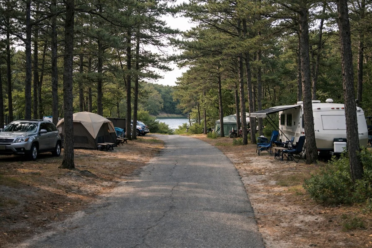
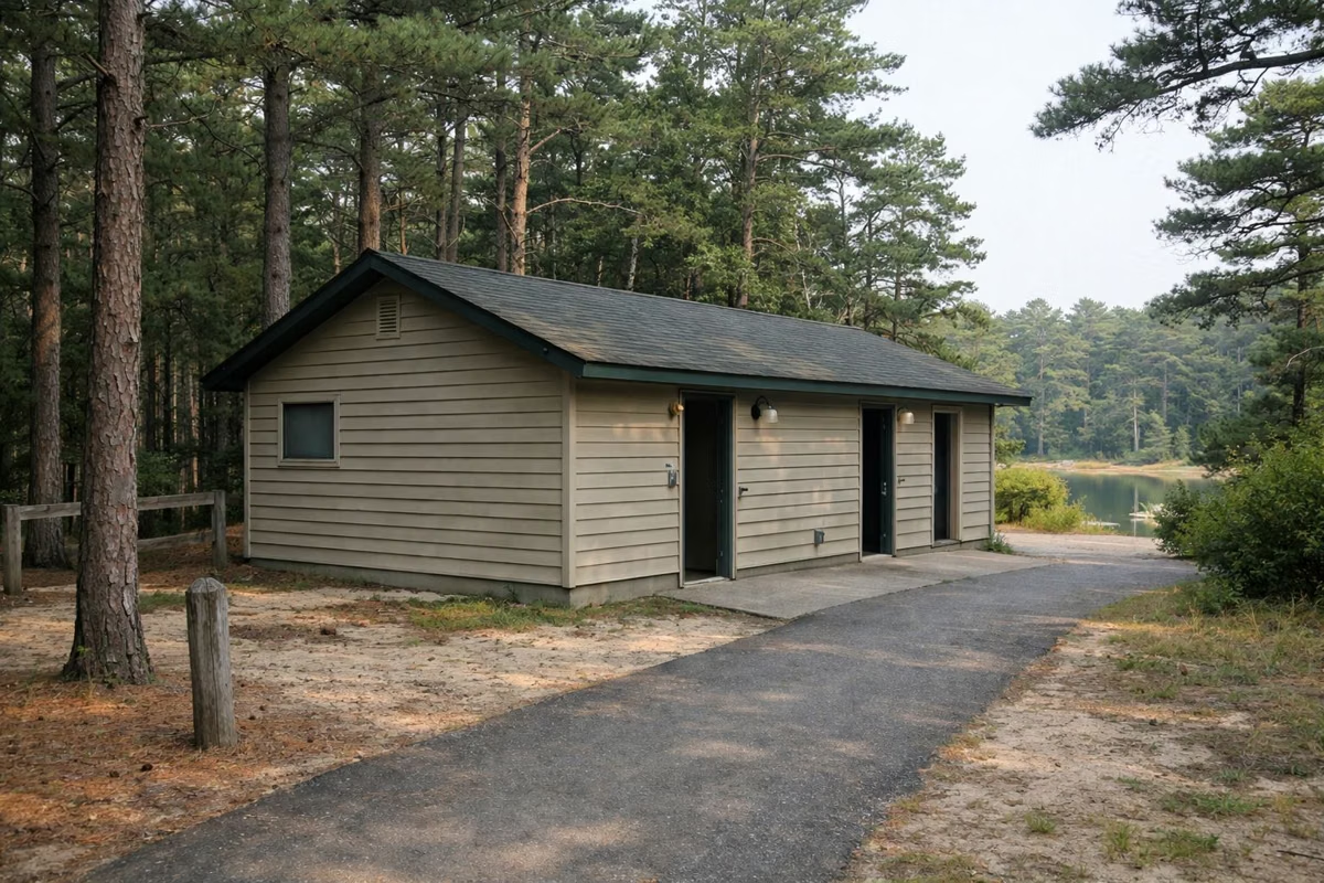
- Accessibility. All accessible campsites are in Area 4, beside the accessible comfort station there. Areas 1, 2, 3, 4 and 5 have accessible comfort stations, though not every comfort station in those areas is accessible. Areas 6, 6X and 7 have none.
- Cliff Pond. DCR's hikes sheet puts signed trailheads for the 3.2-mile Cliff Pond Loop at Campgrounds 4 and 6, with connecting trails from both.
- Quiet ponds. The Brewster Ponds Coalition notes that Eel Pond, about four acres, is downhill to the west of Camping Area 7, south of Higgins Pond. More on the ponds page.
- Biking. DCR says the paved bike paths can be reached from the campgrounds as well as from the lot at the park entrance.
- Your rig. ReserveAmerica labels each site by type (tent only, popup/tent, standard non-electric, yurt or group camping), and no site has hookups. Filter by Camping Spot type before you look at the map.
Reading recent reviews of a specific site number helps, but check the size and type on ReserveAmerica before you trust a review: sites are limited to two tents, or one tent and one RV or trailer, and two vehicles.
Yurts and Group Sites on the Map
Yurts are listed under "Cabins, Yurts or Lodgings" in ReserveAmerica's Camping Spot menu, and the four group sites have their own loop. Pets aren't allowed in yurts. Prices and what's inside are on our yurts page.
Getting Around the Park
The main entrance is on Route 6A, where the contact station checks campers in. From there, park roads lead to the camping areas, Flax Pond and, along Nook Road, Fisherman's Landing on Cliff Pond. DCR's trail map notes that gates on some unpaved roads are there to keep cars out; walkers, cyclists and riders can go past them. For trail routes, see our trail map page.
Before You Book
Booking opens four months ahead, and no walk-ins are allowed. Our reservations page walks through it step by step, and the camping page has prices and site amenities. DCR's park page is the source of record.
Nickerson Campsite Map FAQ
Where can I find a Nickerson State Park campsite map?
Two places: the site map on ReserveAmerica's Nickerson page, which shows every bookable site by camping area, and DCR's Nickerson trail map PDF, which shows the camping areas, roads, ponds and bike paths.
How many camping areas does Nickerson have?
Eight: Areas 1 through 7 and Area 6X, plus four group sites. ReserveAmerica splits Areas 4, 6 and 7 into two booking loops each.
Which Nickerson camping area has accessible sites?
Area 4. All accessible campsites are there, beside the accessible comfort station. Areas 6, 6X and 7 have no accessible comfort stations.
Which camping areas are closest to Cliff Pond?
DCR's hikes sheet puts signed Cliff Pond Loop trailheads at Campgrounds 4 and 6, with connecting trails from both.
Is there a printed map at the park?
The Brewster Ponds Coalition's guide says maps are available at the visitor center. DCR's trail map PDF can be downloaded before you go.
Facts checked against the DCR page for Nickerson State Park on October 17, 2026.